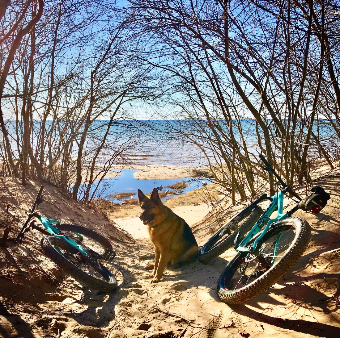

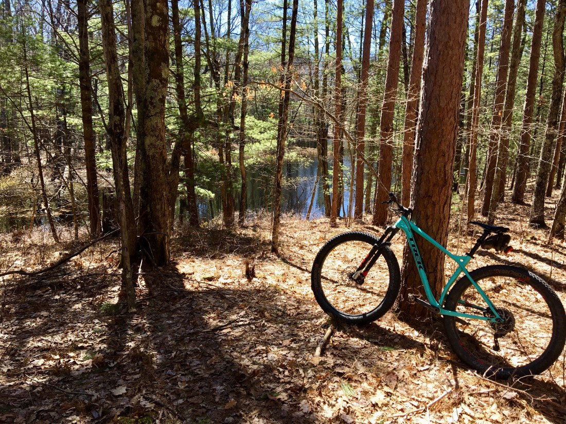
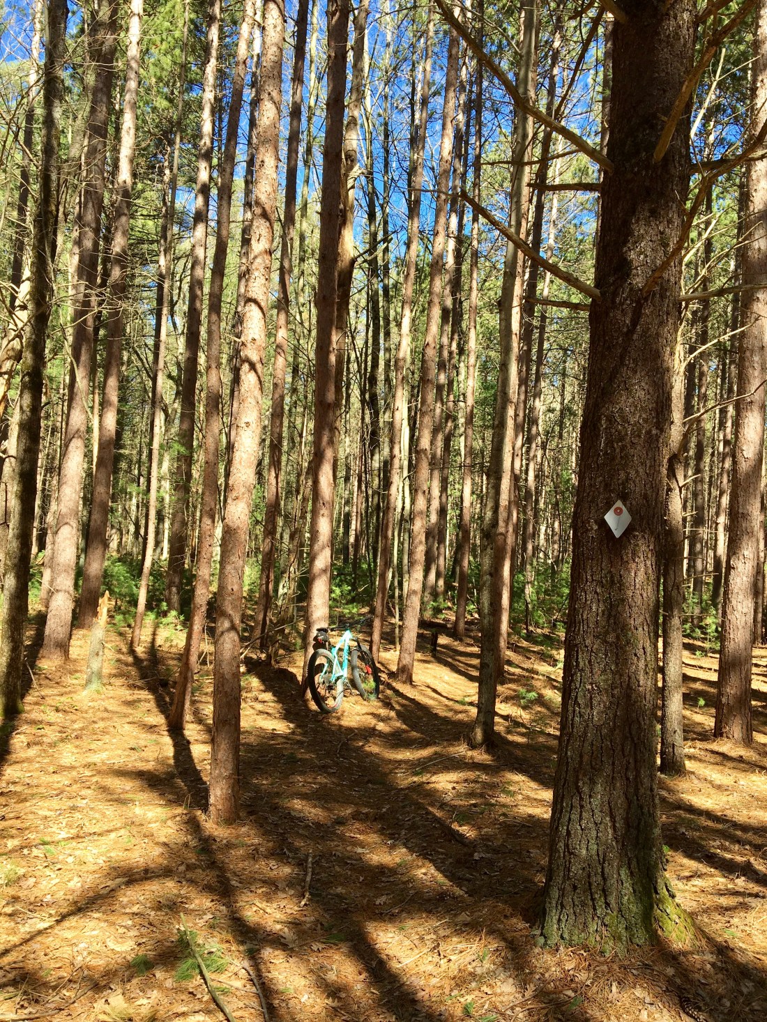
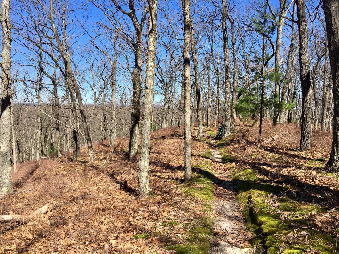


Trying not to take mountain biking, fishing or myself too seriously
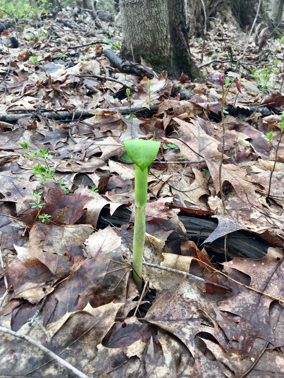
Jack-in-the Pulpit
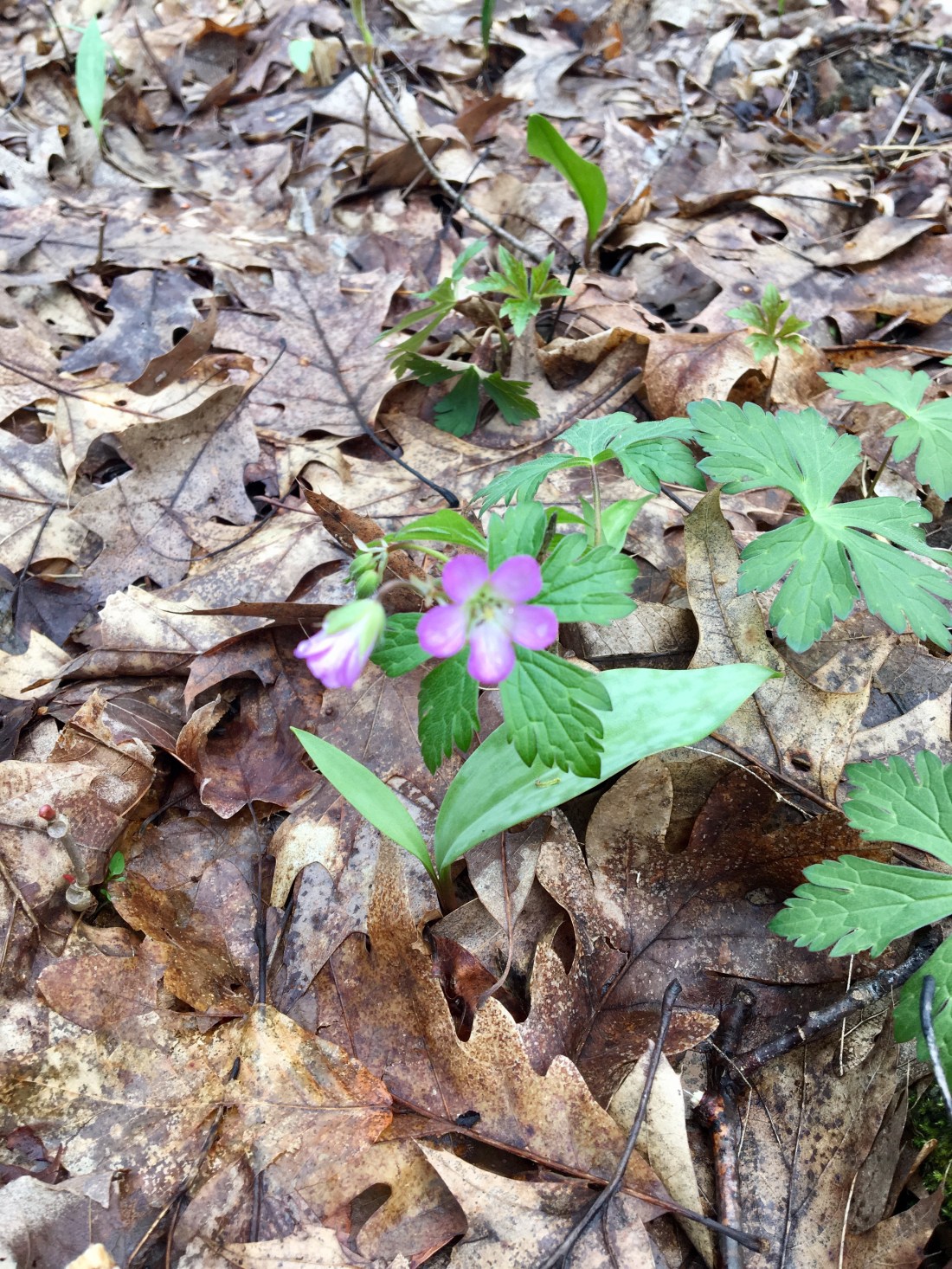
Wild Geranium
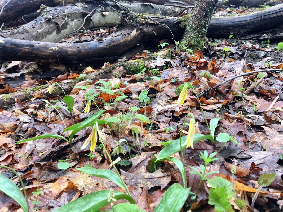
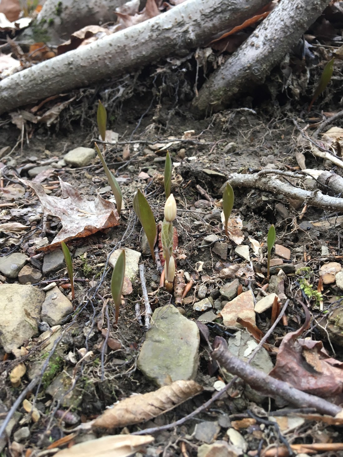
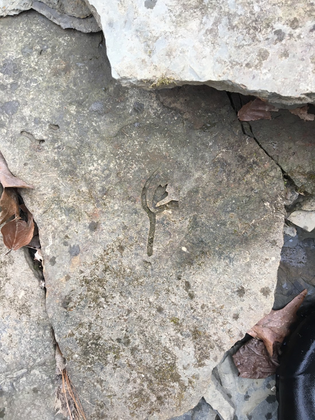
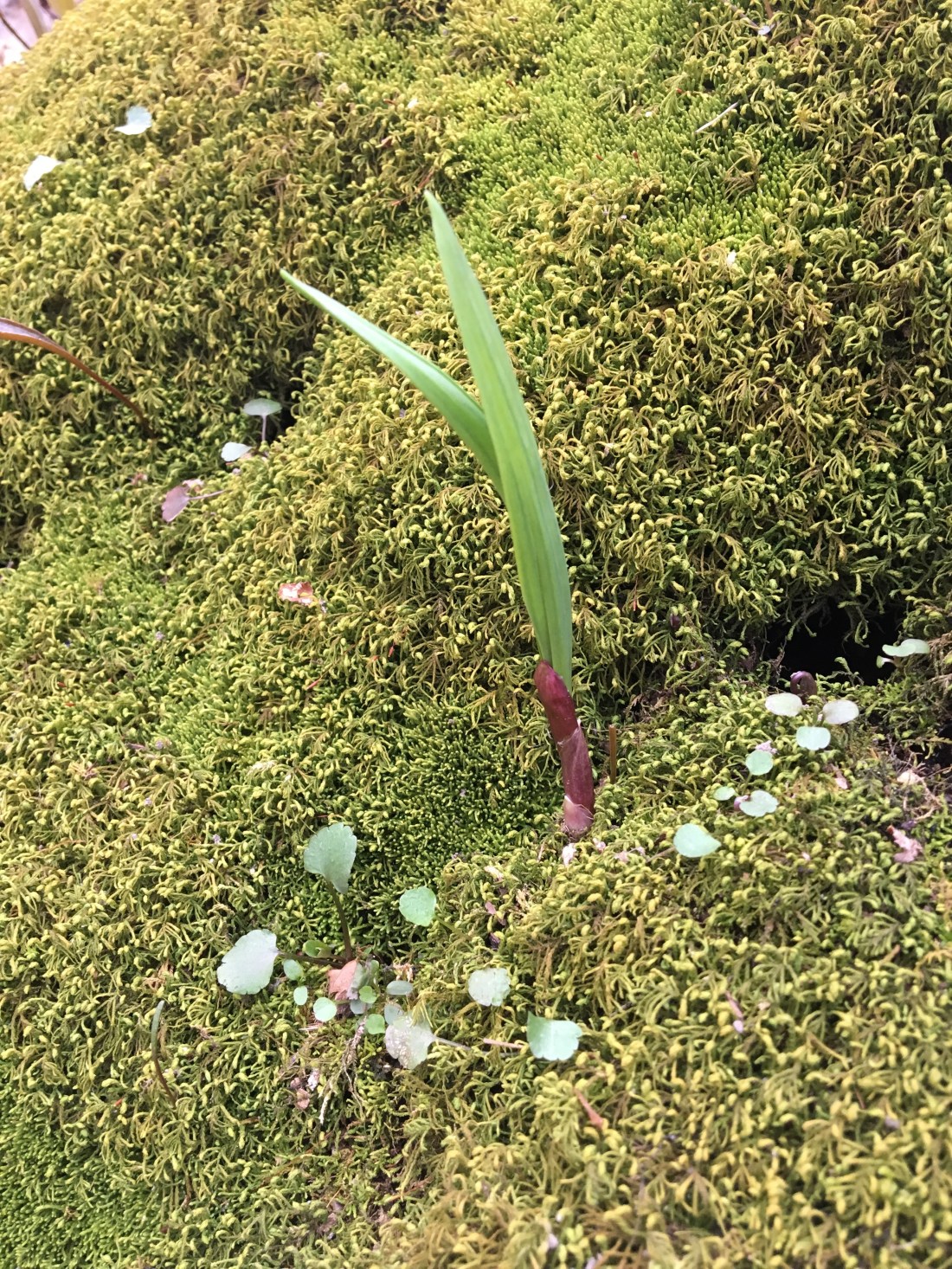
Trout Lilly
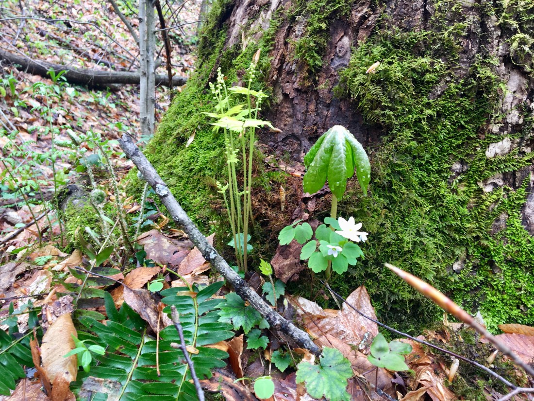
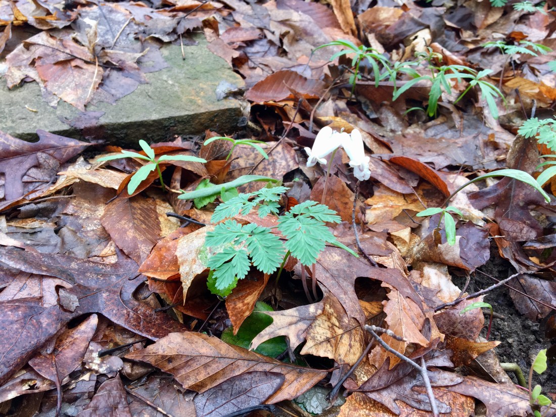
Bloodroot
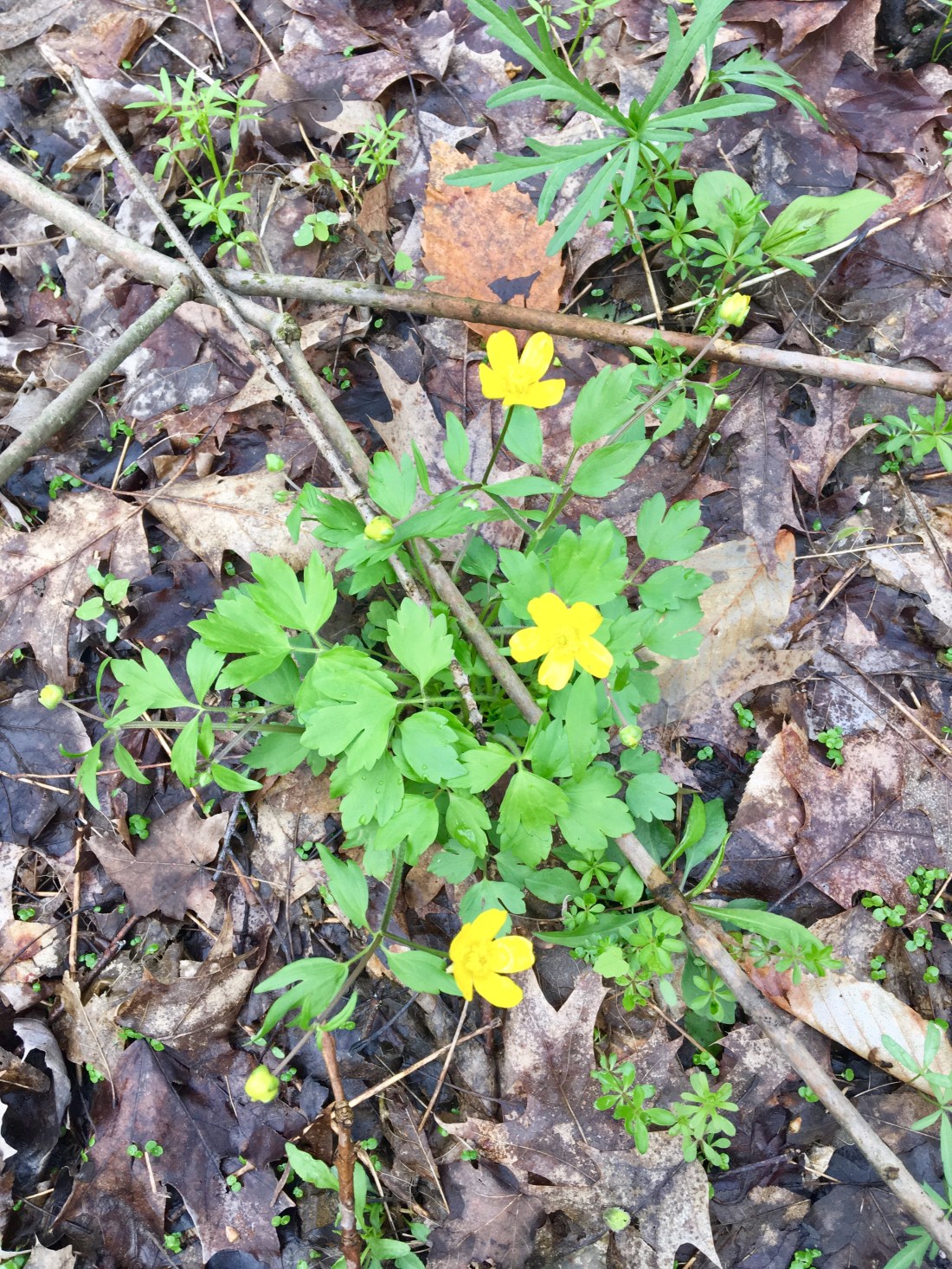
Hespid Buttercup
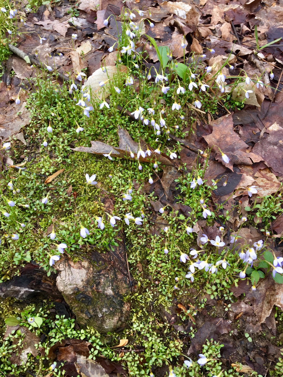
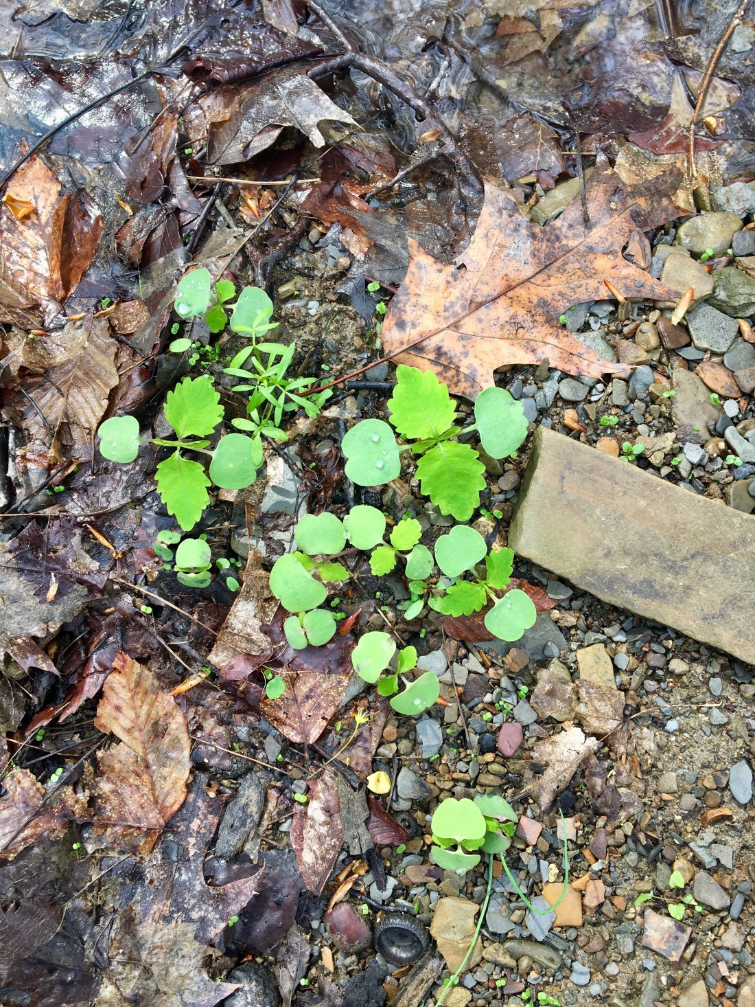
Not sure but some sort of violet
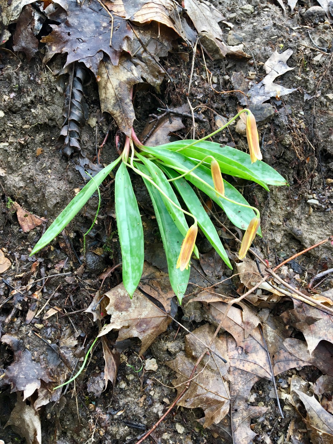
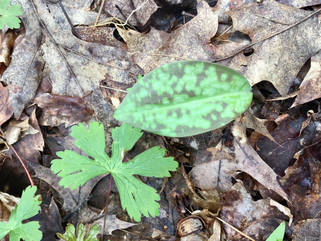
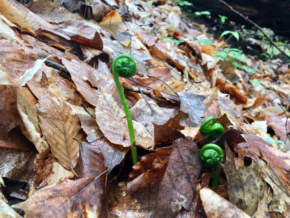
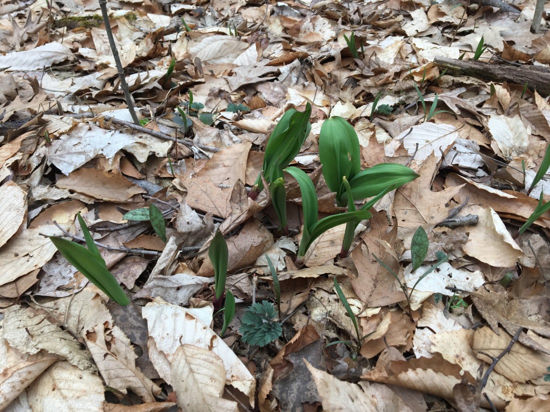
Trout Lilly but I’ve never seen them grow in bunches or with leaves that skinny
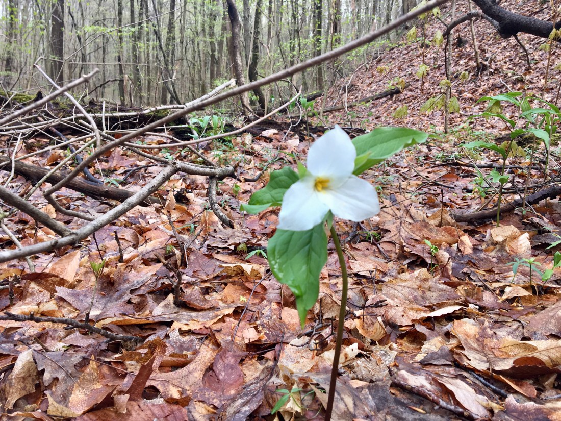
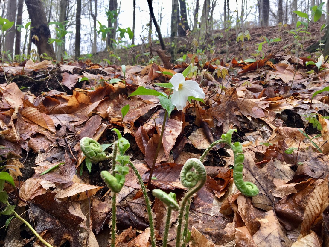
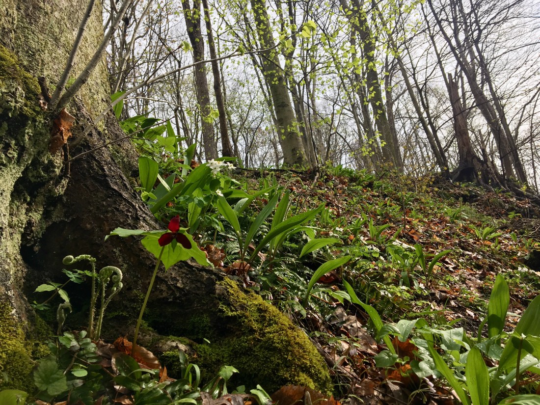
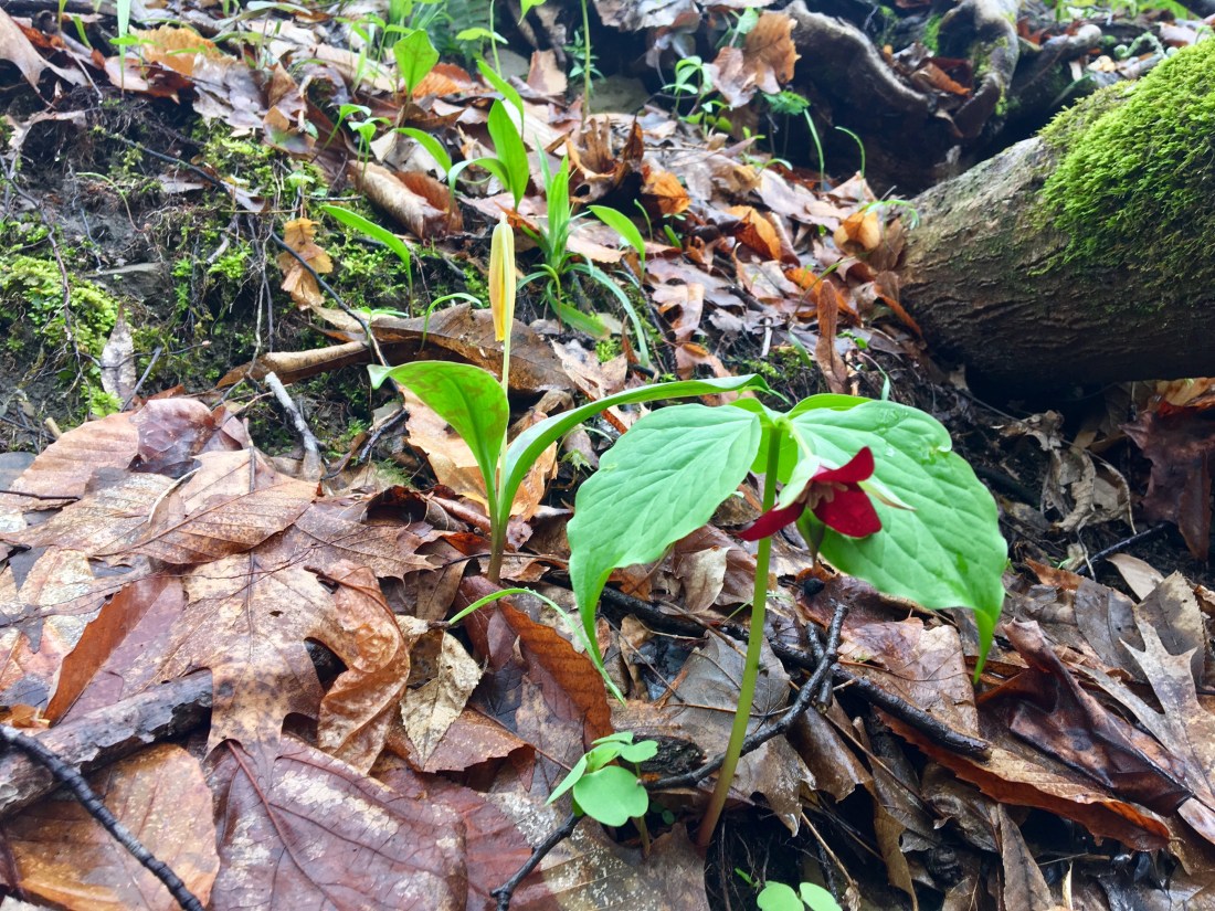
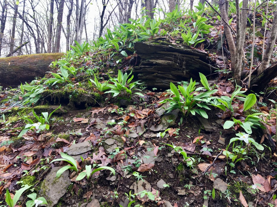
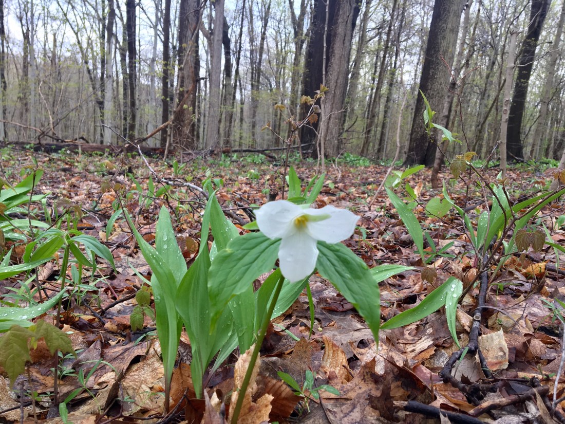
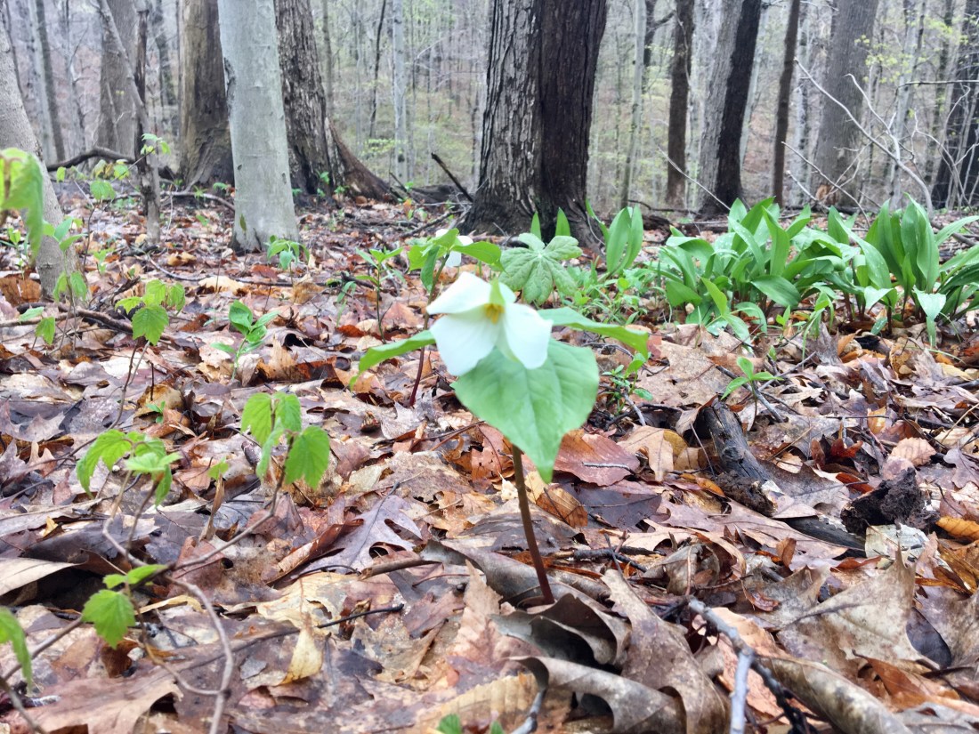
Trillium
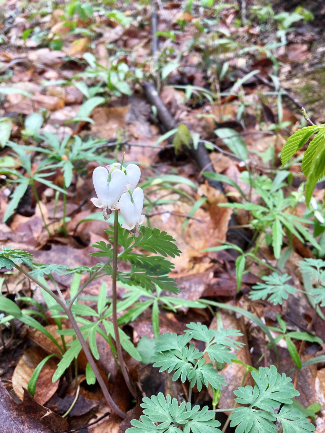
Bleeding Heart
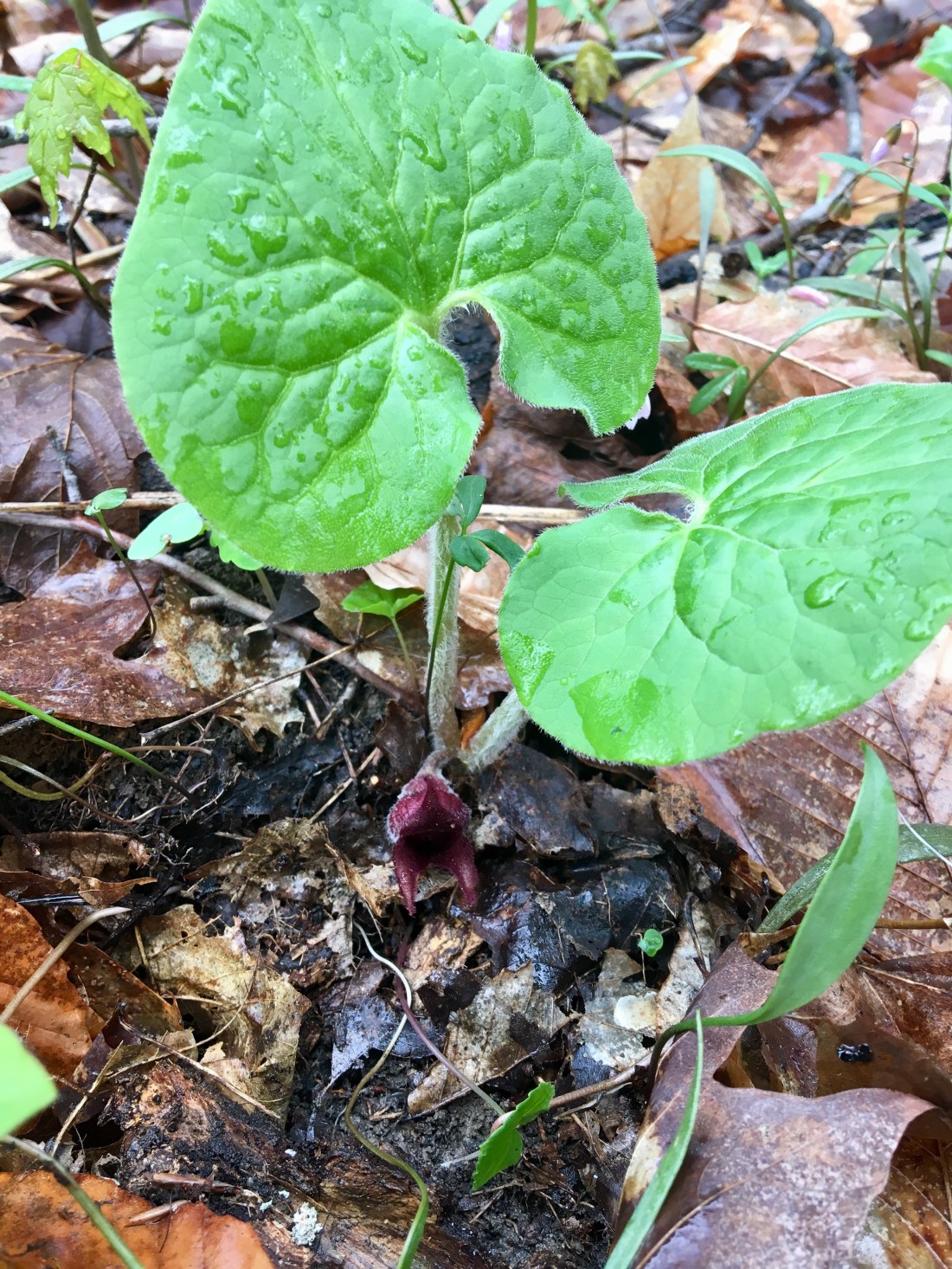
Wild Ginger
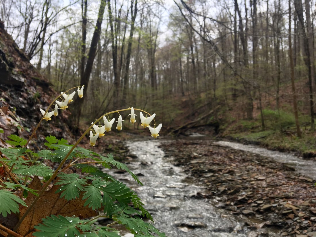
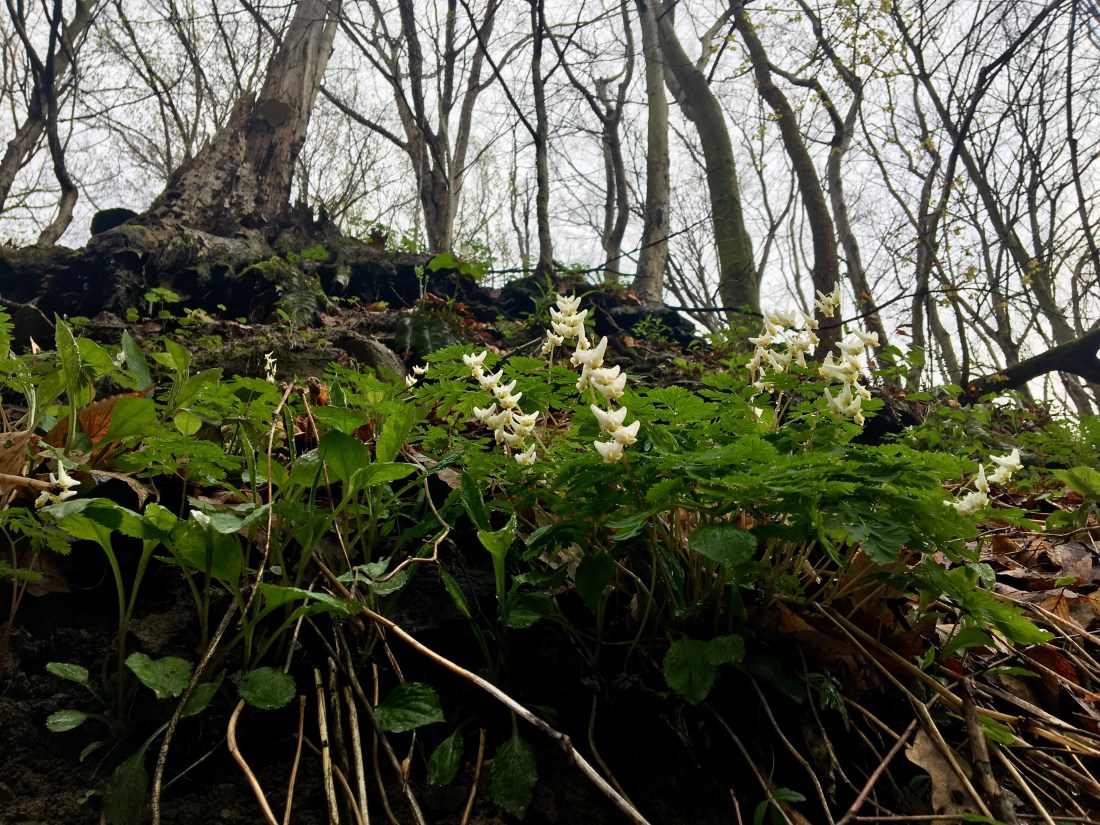
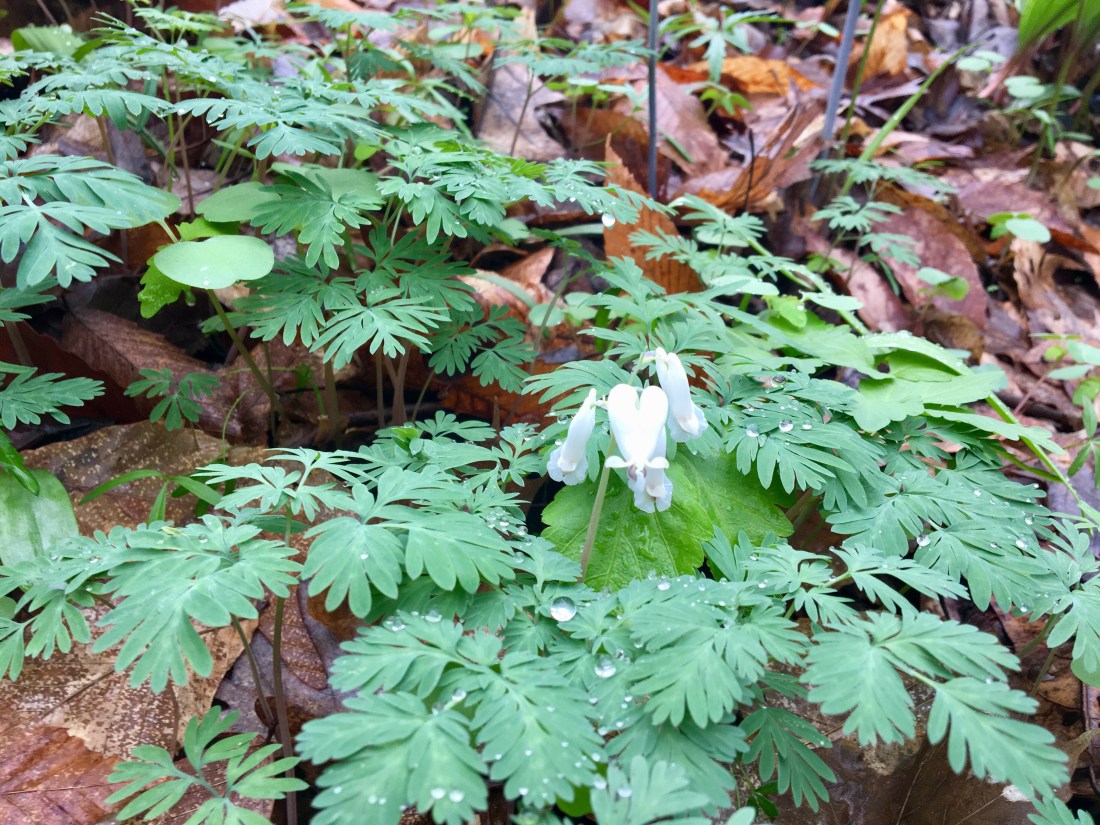
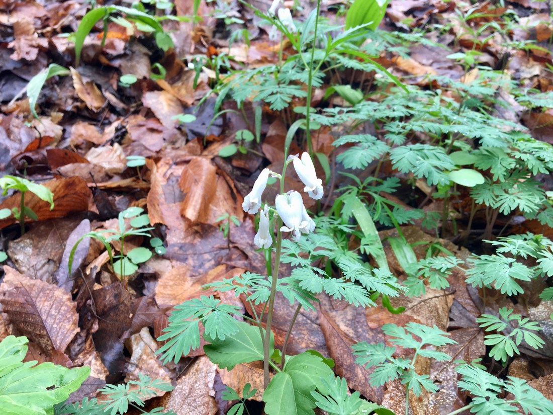
Dutchman’s Breeches
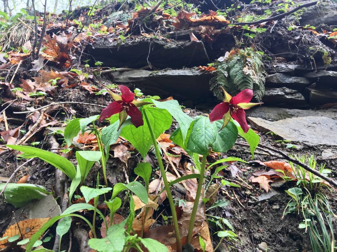
Red Trillium

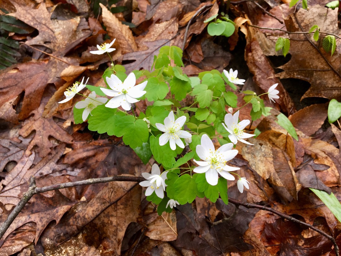
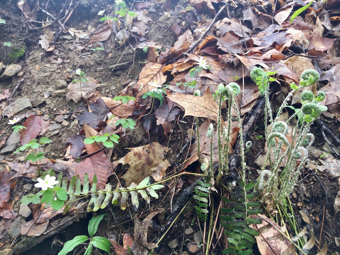
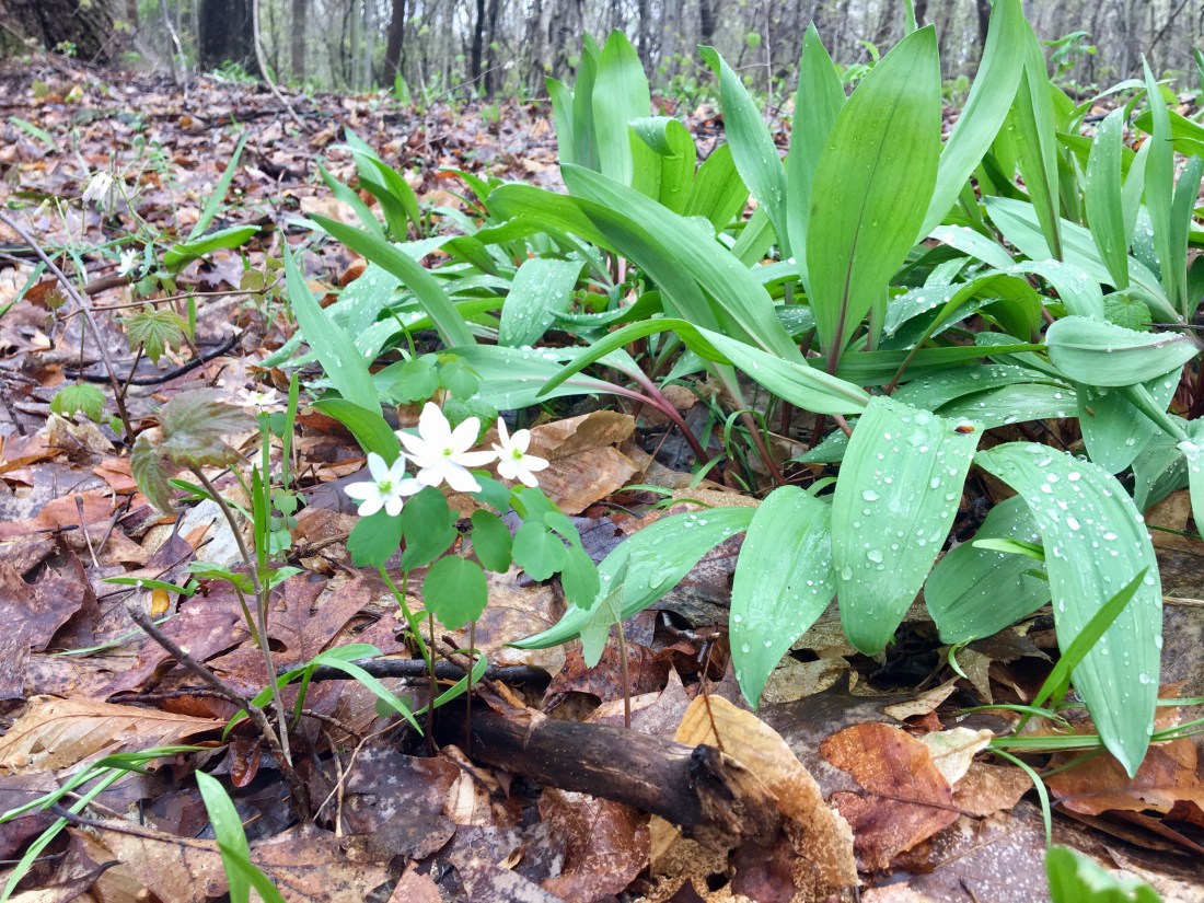
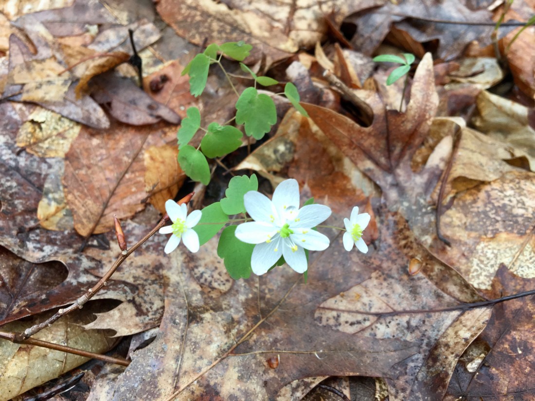
Rue Anemone

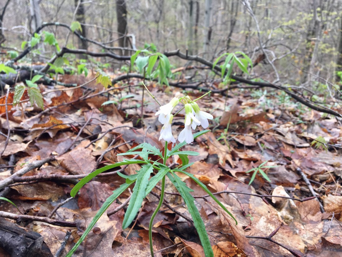
Cutleaf Toothwort
Leeks
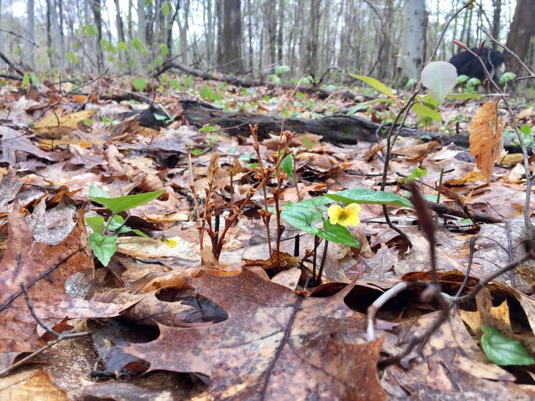
Smooth Yellow Violet
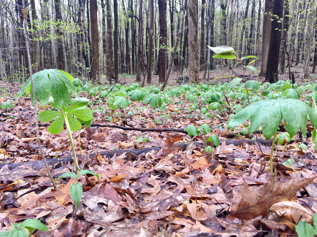
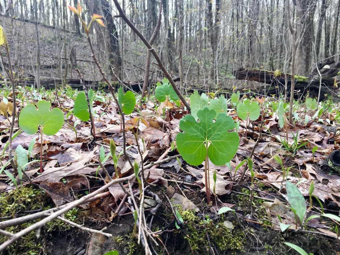
Mayapple
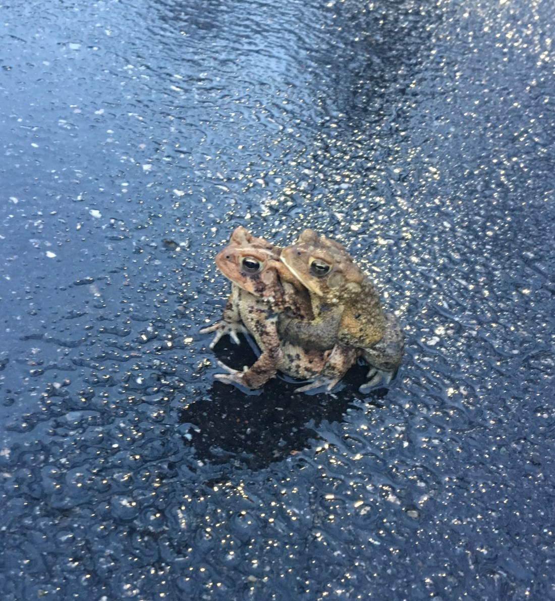
Happy Frogs


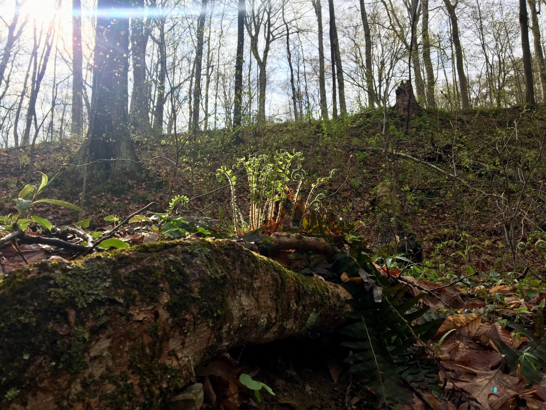
Inspired by the latest edition of Bikewanderer, I decided to ride solo today. I always wondered what the gravel roads were like south of the Black Fork routes. There is an empty spot on the map north of Walhonding, and with the help of an excellent route on ridewithgps (Glenmont Gravel), I found out what was down there.
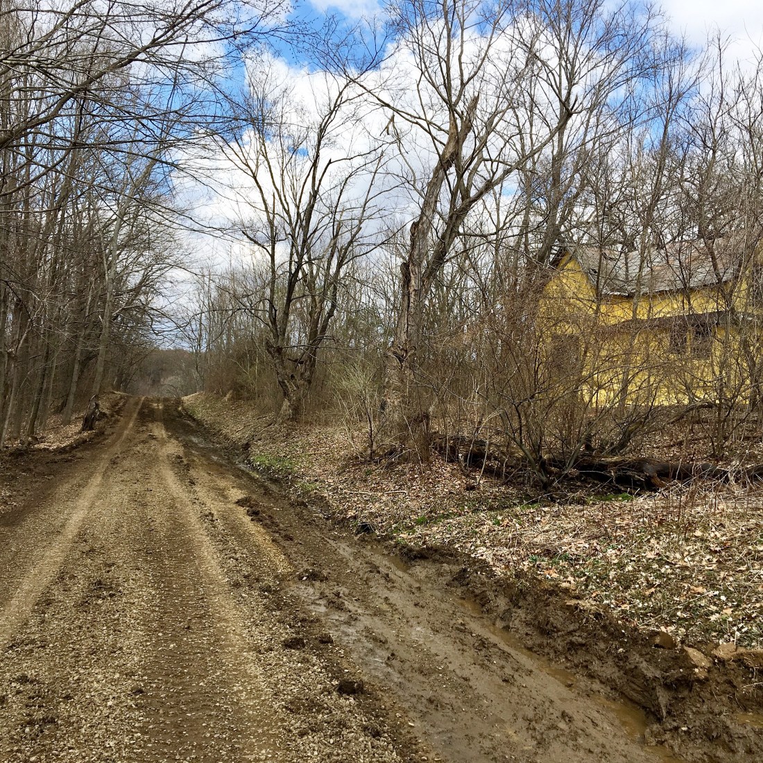
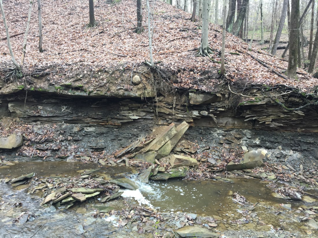
County road crews were out repairing the damage of the recent erosion and floods. The weird abandoned yellow house was wrapped in some sort of plastic insulation.

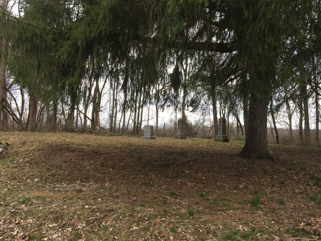
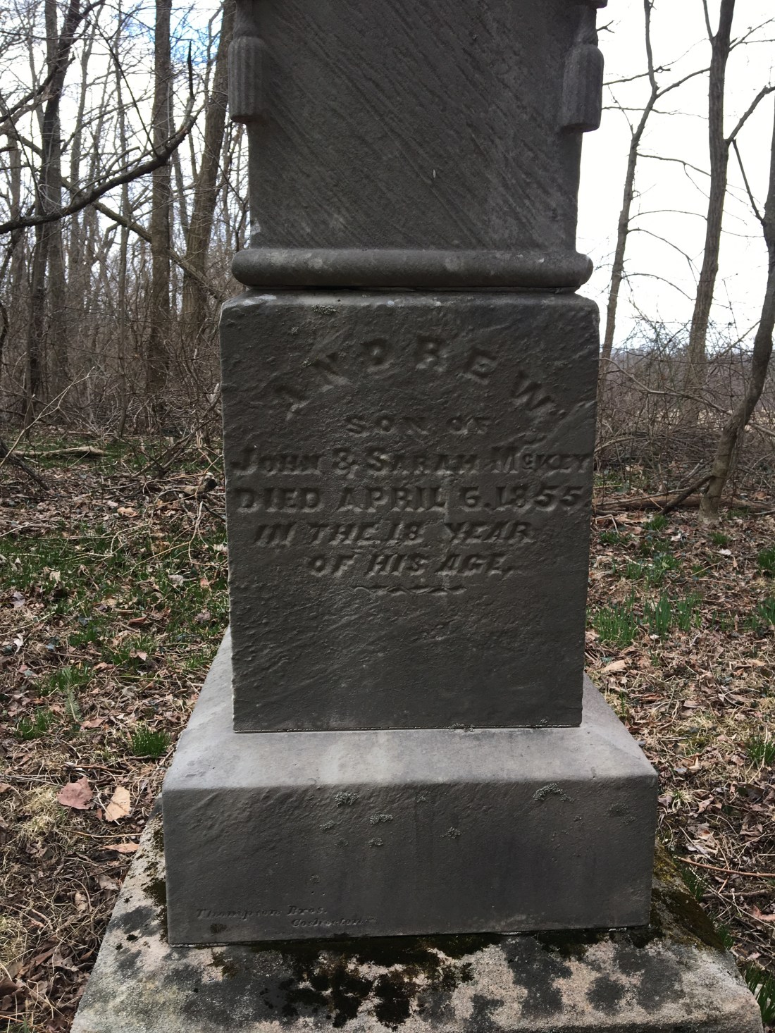
Stopped for a break at this very cool family cemetery on a lonely hilltop. It contained the mother, father, and son, aged 18. I think it was the mother because the father died at age 80 in 1879, and the mother in 1906. Probably a daughter. Who knows. Interesting place. Two pine trees shaded the small plot.

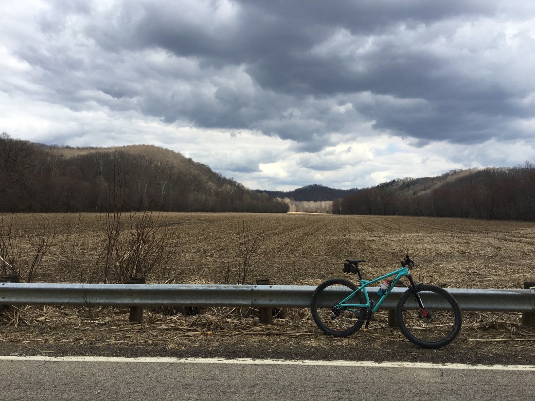
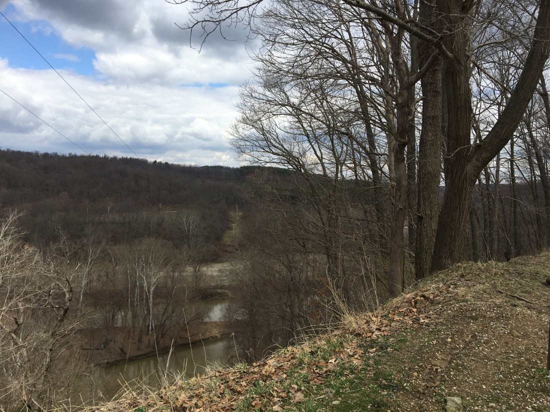
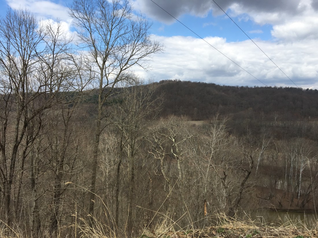
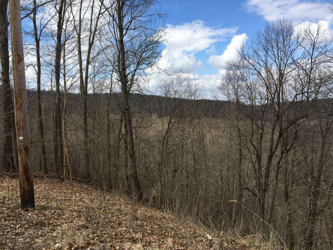
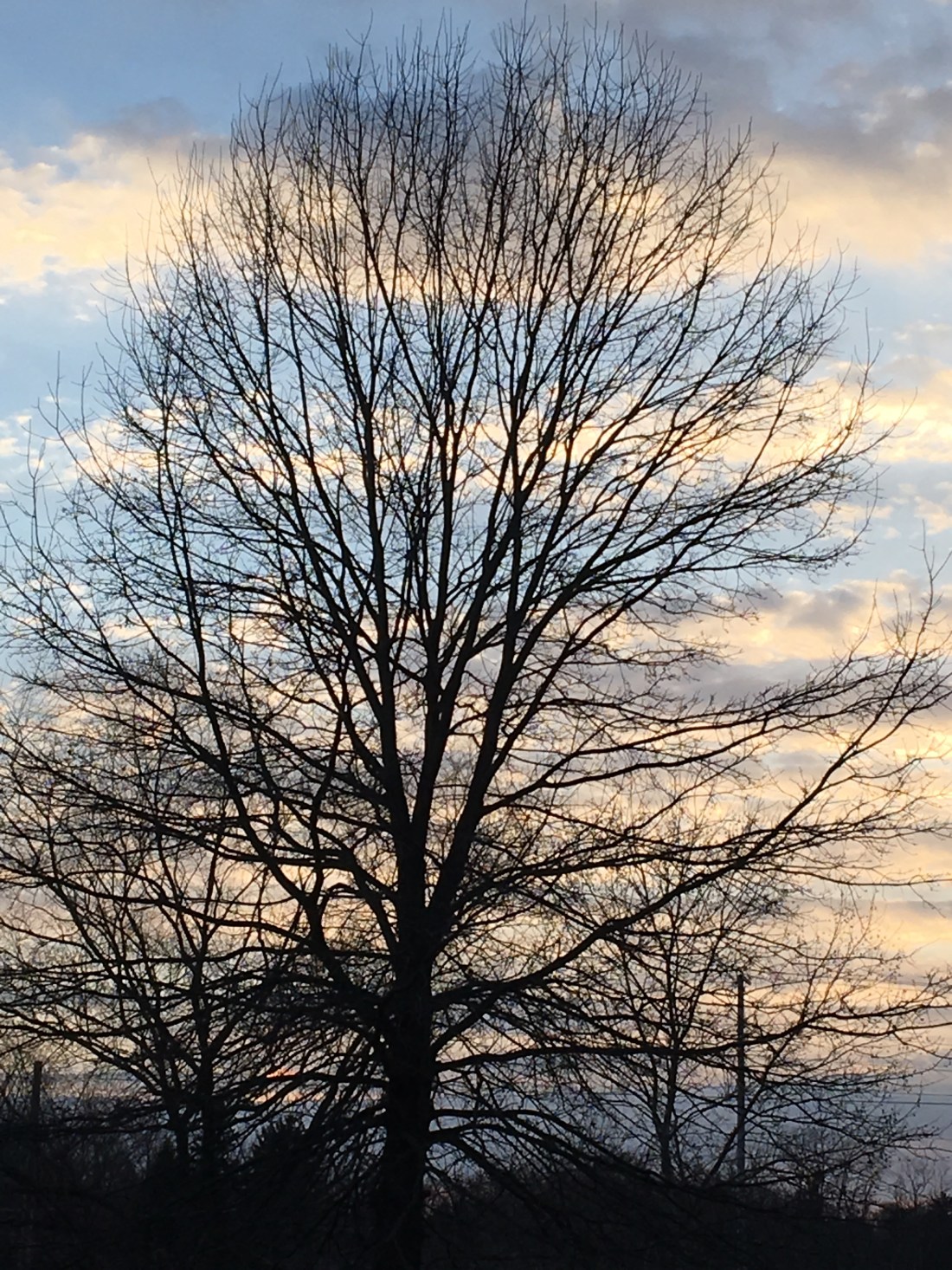
Took a break at mile 40. Beautiful vista to the south.
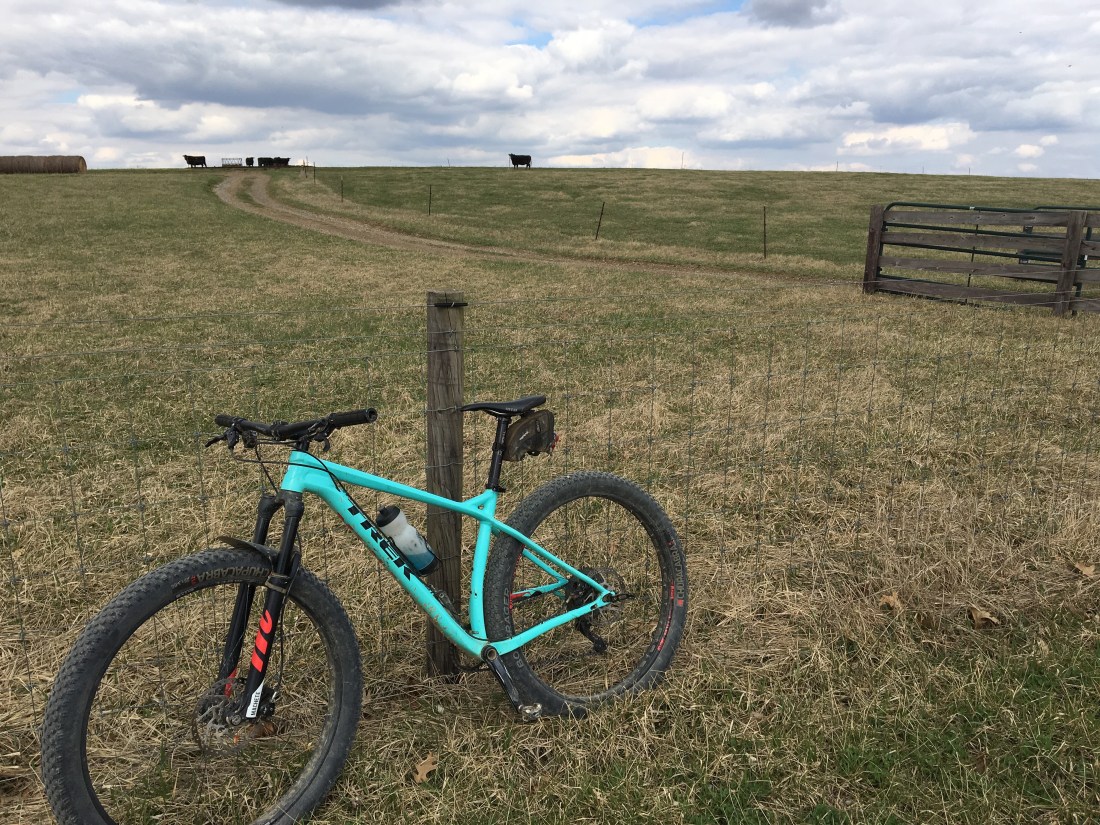
Plenty of cows, beer cans, abandoned trailers.

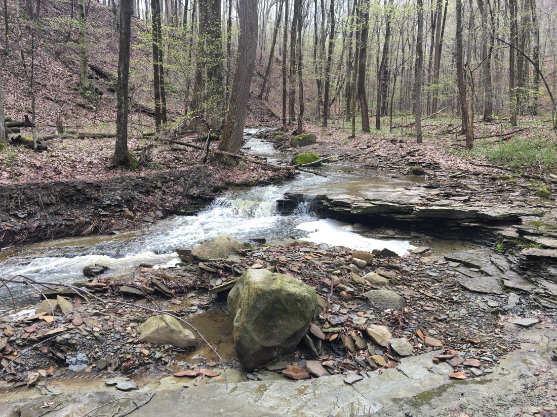
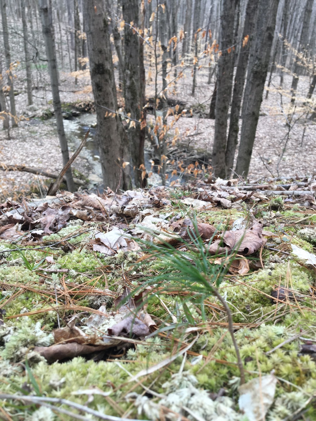
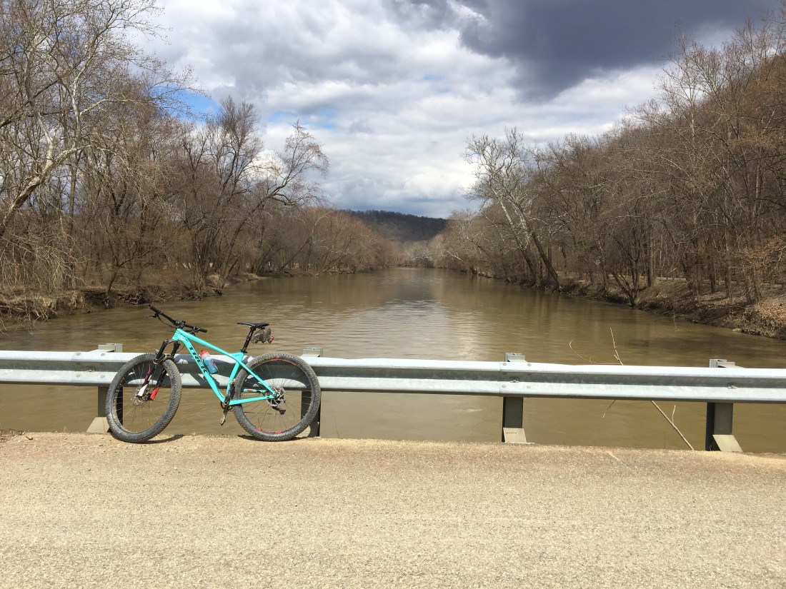
The lower Mohican is completely different from the RV-choked upper reaches.
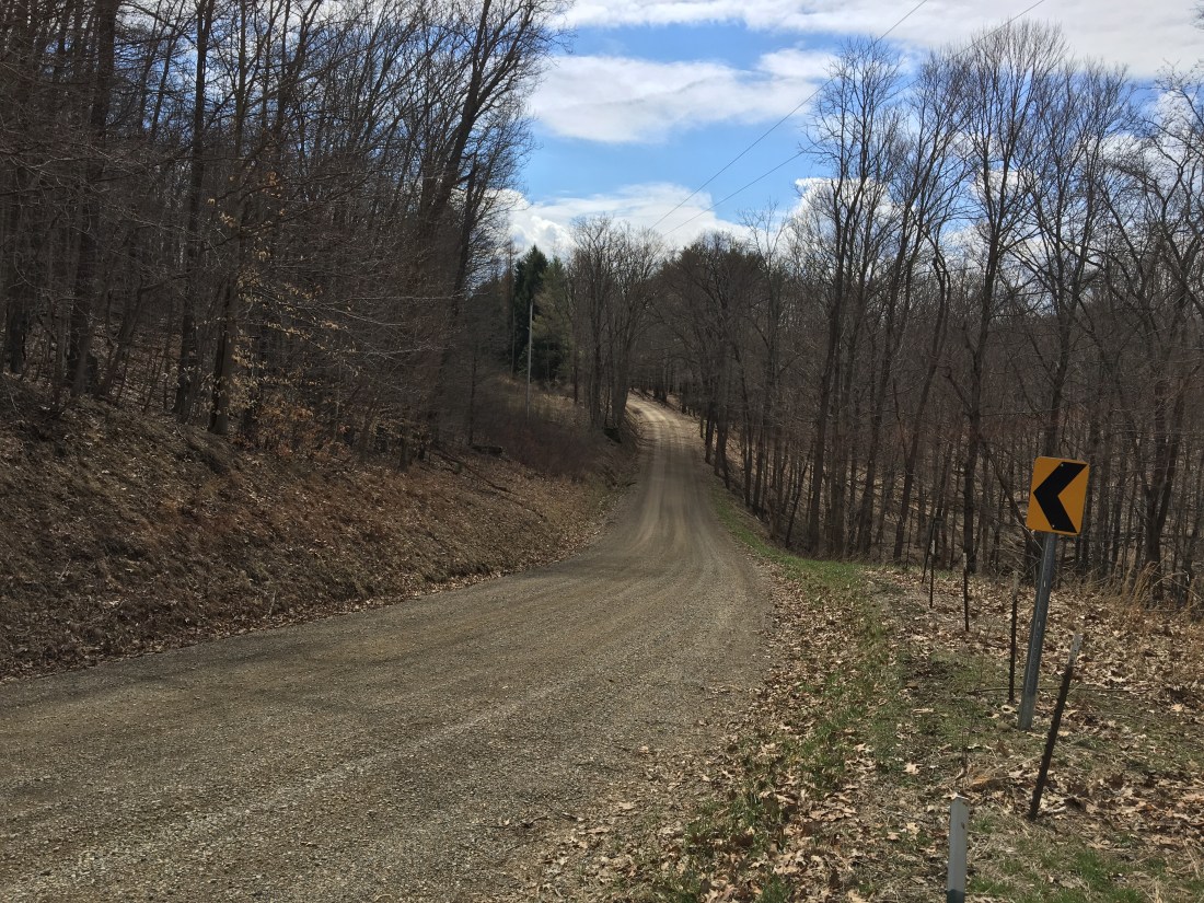
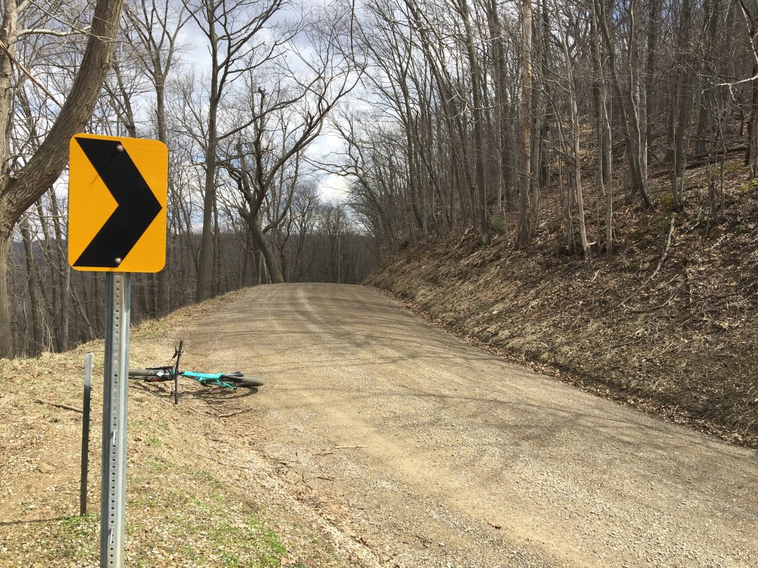
The route is a mixture of seemingly remote gravel roads with occasional pavement. The climbs aren’t as steep as those closer to Loudonville, as long as you ride counterclockwise, and this direction starts with an easy warmup on the Amish Highway. I rode without a rear brake, and some of the descents were steep and sketchy. Sometimes the gravel got deep and big. Not sure I’d try to ride it with a “gravel tire.” A big plus was the abundance of pavement on the last 10 miles – good for achy legs, and the final descent into Glenmont is fast and bomby. Trip tip: there are no stores or opportunity for water along the way.
48 miles
4700 feet climbing

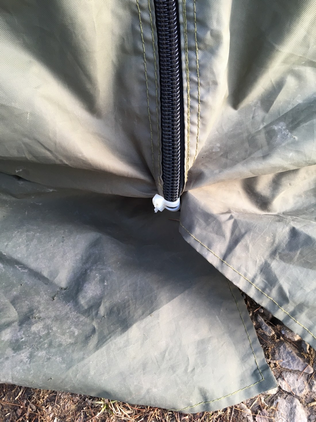
Now we have a spare.